

Is this your business? Claim and upgrade to a Premium listing today!
Your next adventure awaits

Skowhegan/Kennebec Valley KOA combines location, facilities and recreation to offer an ideal family vacation setting. We’re located on Route 2 in central Maine’s beautiful Kennebec Valley, just 12 miles from...
Adventure, Fun & Relaxation! Breathtaking views over our 10-acre lake and out to the Mighty Mississippi River! Tropical Atmosphere! Enjoy our aqua park, pools, playgrounds, jump pad, poolside tiki bar,...

Silver Beach is located right on the shores of beautiful Rimrock Lake. Drive through the White Pass scenic byway and enjoy the breathtaking Cascade Mountains. Just one hour from Yakima,...

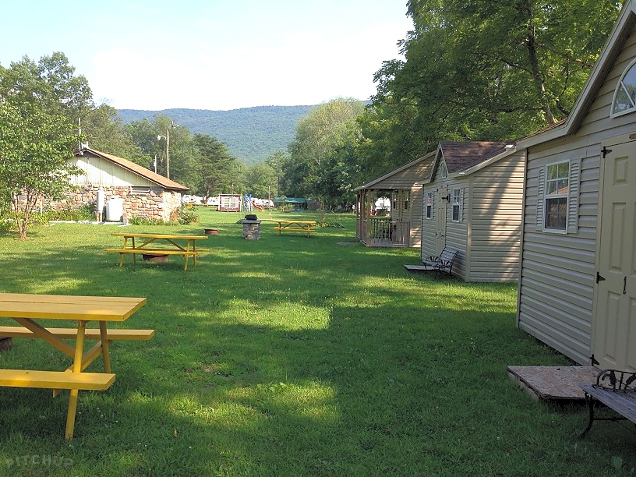
Tok RV Village & Cabins has been family owned and operated since 1986. Wooded sites, super clean restrooms, laundry, and a nice gift shop. Our layout is set up for...

Your oasis in the city. Full hookups (30 & 50 amp service), gated facility with laundry, pool, spa, modern restrooms and free cable & WIFI. Only 5 miles from the...

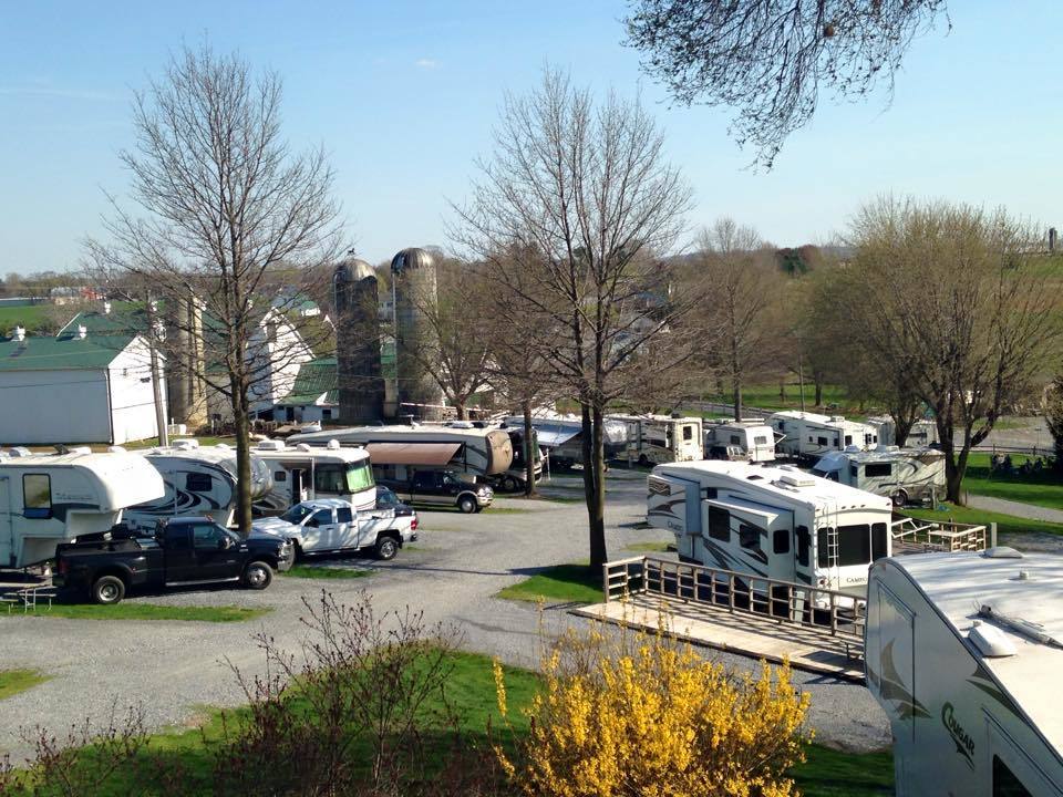
Spacious Skies Sandy Run Campground is a special little place in the Carolina Sandhills, right in the heart of Cumberland County, that may surprise you with its wonderfully unique brand...
